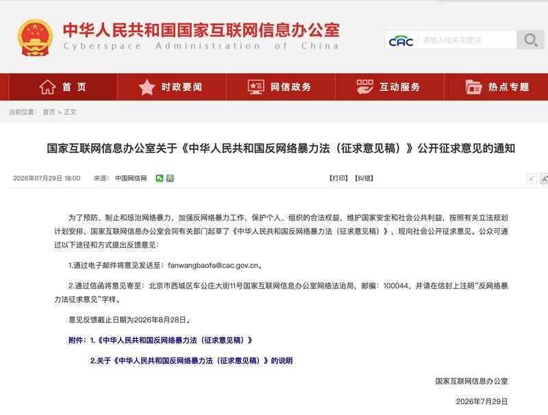
《中华人民共和国反网络暴力法(征求意见稿)》于8月28日结束为期一个月的意见征求1。此次立法将网络暴力治理防线前移,推动从"事后追责"向"事前预防"的转变1。普通网友、法律从业者、学者等各界人士从自身经历和专业角度提出了具体建议,包括完善取证机制、明确平台责任、建立民事赔偿标准等1。
汪姝文律师指出,征求意见稿中"应当"一词意味着获得公安机关协助不再只是可能性,而有望成为更明确的制度责任1。朱巍副教授建议应当进一步强化"一人一实名账号"制度,将网暴参与记录与账号信用等级绑定1。朱巍同时指出,此前中国法律体系形成"九龙治水"局面,各方权责割裂,缺少一套完整制度串联1。
征求意见稿新设"网络暴力告诫书"制度,由公安机关对实施网络暴力但依法不予治安管理处罚的组织和个人出具1。征求意见稿在附则中明确提到:"依法通过网络检举、揭发违法犯罪以及实施舆论监督的,不适用相关规定"1。现实中的维权困境反映出当前制度的不足,一起案件的受害者耗费近万元开销,而被起诉的两人仅获赔2750元和500元1。
The one-month public consultation on the draft Anti-Cyberbullying Law of the People's Republic of China concluded on August 28, following its launch on July 29 1. The proposed legislation has drawn input from diverse stakeholders including private citizens, legal professionals, and academics, who submitted concrete recommendations addressing evidence collection mechanisms, platform accountability, and civil compensation standards 1.
The draft introduces several new provisions aimed at shifting cyberbullying governance from reactive enforcement to proactive prevention 1. A significant measure is the establishment of a "cyberbullying admonition system," under which public security authorities would issue formal warnings to organizations and individuals who engage in cyberbullying but do not warrant administrative punishment under existing law 1. The draft also clarifies that "legitimate online reporting of crimes, whistleblowing, and public opinion supervision shall not be subject to the relevant provisions" 1.
Legal experts have highlighted specific improvements sought in the legislation. Attorney Wang Shuwen noted that the use of the term "should" in the draft suggests that obtaining assistance from public security agencies would transition from a discretionary possibility to a more concrete institutional responsibility 1. Professor Zhu Wei has advocated for strengthening the "one person, one registered account" system and linking participation records in cyberbullying incidents to account credit ratings 1. Zhu Wei also pointed out that China's previous legal framework created a fragmented governance structure across multiple authorities, with overlapping responsibilities but lacking a cohesive institutional system 1.
The limitations of current remedies underscore the need for comprehensive legislation. A victim known as Xiaoyue incurred nearly 10,000 yuan in legal expenses while seeking redress, yet the two defendants found liable were ordered to pay only 2,750 yuan and 500 yuan respectively 1.
评论
还没有评论,欢迎留下第一条。