研究人员通过重建南半球最长的高频气压观测数据,追踪了自1830年以来影响Perth地区的严重风暴演变规律1。这项分析利用来自四个历史观测点的近200年气压、温度和降雨记录,在这一时期内识别出141场严重风暴1。其中,1927年6月17日Perth遭遇的风暴最为剧烈,风速达到128公里/小时1。
研究发现,自1970年以来Perth的冬季风暴数量出现显著下降1。这一趋势与大气环流模式的变化密切相关——Hadley环流的扩展导致亚热带高压带向极地移动,进而减少了该地区的降雨1。西南澳大利亚的冬季降雨量自1970年以来已下降20%1。历史数据表明当前的风暴衰退具有异常的持久性,2010-2019年十年间的风暴数量为自1830年以来最少1。
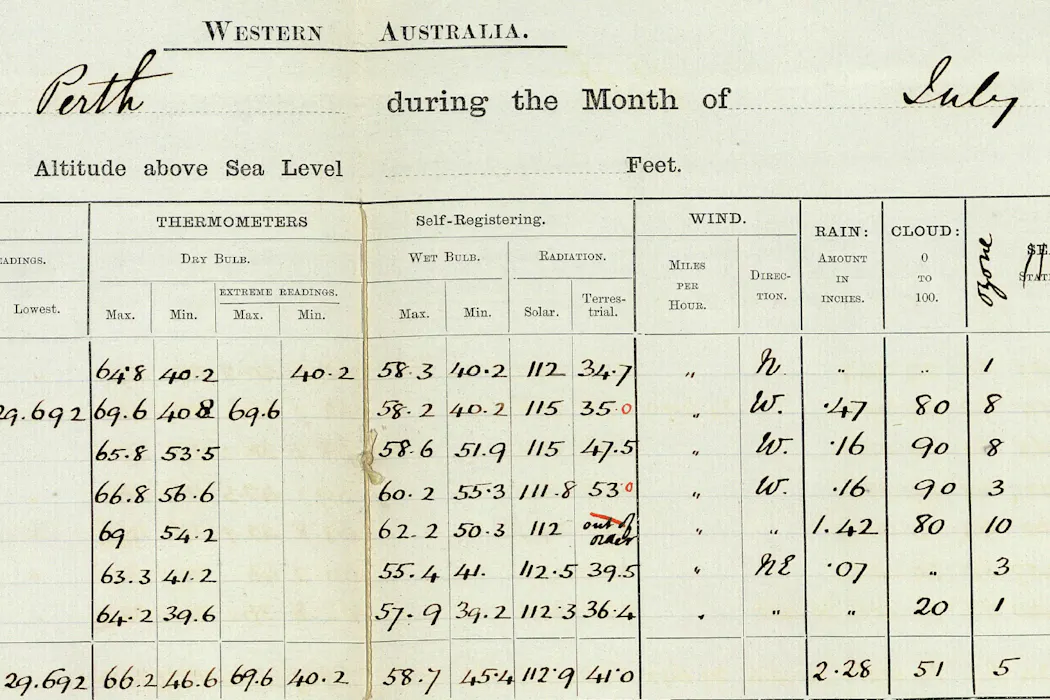
Researchers have reconstructed the Southern Hemisphere's longest high-frequency atmospheric pressure record by analyzing nearly two centuries of Perth observational data on pressure, temperature, and rainfall, tracking severe storms dating back to 1830 1. The analysis identified 141 major storms that impacted Perth between 1830 and 2024 1.
The research reveals a significant decline in winter storms across Perth since 1970 1, driven primarily by the expansion of the Hadley circulation, which has shifted the subtropical high-pressure belt toward the poles 1. This atmospheric shift has resulted in a 20 percent reduction in winter rainfall across southwestern Australia since 1970 1. The current downturn in storm activity is notably persistent by historical standards—the decade from 2010 to 2019 recorded the fewest storms since records began in 1830 1.
Historical records document extreme weather events in Perth's past, including a severe storm on June 17, 1927, which produced wind speeds of 128 kilometers per hour 1. The historical data compilation drew from four distinct observation sites spanning the study period: Swan River (1830–1875), Perth Gardens (1876–1900), Perth Observatory (1897–1908), and Perth Regional Office (1907–1944) 1.
评论
还没有评论,欢迎留下第一条。