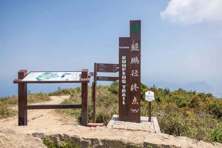
深圳推出了一条贯通山、海、城、古村的徒步路线——鲲鹏径。1这条路线全长约200公里,西起凤凰山飞云顶,东至七娘山大雁顶。1沿途串联了二十余个自然郊野公园、十余个大型湖库、十多个历史人文地标和三十多处城市观景点。1
为满足不同户外爱好者的需求,深圳城市管理部门将鲲鹏径划分为三类路线。1其中包括轻松漫游线、城市风景线和山海挑战线,适合各种年龄和体能水平的户外爱好者。1值得注意的是,第七段的最高点极目阁海拔达430米,第八段沿山脊线行走,需要登山者根据自身情况量力而行。1
Shenzhen's urban management authorities have unveiled the Kunpeng Trail, an approximately 200-kilometer hiking route that integrates the city's diverse natural and cultural landscapes into a single continuous path 1. The trail spans from Phoenix Mountain's Flying Cloud Peak in the west to Qiniang Mountain's Wild Geese Peak in the east, linking more than twenty natural countryside parks, over ten major lakes and reservoirs, numerous historical and cultural landmarks, and thirty-plus urban scenic viewpoints 1.
To accommodate outdoor enthusiasts of varying abilities and ages, the city has categorized the Kunpeng Trail into three distinct route types: leisurely strolls, urban scenic walks, and mountain-sea challenge routes 1. The seventh section reaches its highest elevation at Jimo Pavilion at 430 meters above sea level, while the eighth section traverses a ridgeline where hikers are advised to assess their physical capabilities before proceeding 1.
评论
还没有评论,欢迎留下第一条。